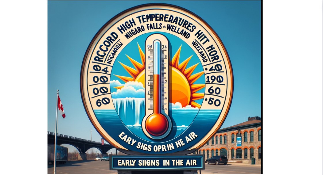
Amidst what is technically still winter, Niagara is experiencing unusually warm weather, prompting speculation about the arrival of spring. On a mild and sunny Monday afternoon, Frances Ordonez enjoys pushing her two-year-old son Martin on the swings at Lester B. Pearson Park in St. Catharines. Meanwhile, record high temperatures were recorded in Niagara Falls and Welland.
According to reports, Niagara Falls reached a daytime high of 22°C, while Welland saw temperatures climb to 20.6°C on Monday, both setting new records for the date. Niagara Falls surpassed its previous high for March 4, which was 14.4°C set in 1974, while Welland broke its previous record of 15.6°C set in 1966.
Geoff Coulson, a meteorologist from Environment Canada and Climate Change Canada, noted that St. Catharines was close to breaking records as well but only managed a high of 13.7°C due to a breeze blowing in off the cold waters of Lake Ontario. Areas such as Vineland and Port Weller experienced even cooler temperatures, hovering at 7°C due to the lake effect.
Coulson explained, “Anybody who is in close enough proximity to a Great Lake is probably a little or significantly cooler than places further away.” He added, “This has been the warmest day for most locations. Areas away from the Great Lakes… have already broken numerous records today for Hamilton, Pearson Airport in Toronto, London, Kitchener, Sarnia, Windsor.”
Tuesday’s forecast suggests similar temperatures, with highs near 18°C, especially in areas away from lake breezes, closely approaching Welland’s March 5 record of 18.5°C set in 2004. However, temperatures are expected to cool Tuesday afternoon following a cold front, with Wednesday seeing a notable difference, dropping down to 6°C. Despite this drop, Coulson noted that it will still be above normal for this time of year, with the normal temperature being 2°C.
Reflecting on the overall winter season, Steven Flisfeder, another meteorologist with Environment and Climate Change Canada, described it as one of the warmest in at least 15 years for Niagara. He noted that the season lacked significant snowfall, with temperatures averaging about three and a half degrees above seasonal norms.
Typically, winter in Niagara sees daytime highs between 3 and –1°C, with lows of –3 to –9°C. However, this winter saw deviations from these norms, with less snowfall than usual across southern Ontario.
Flisfeder attributed the warm and dry conditions to the El Niño period currently affecting the region. He explained that El Niño weakens the winds over the Pacific Ocean, allowing warm waters near South America to push west toward Asia, causing surface temperatures to rise.
Despite the approaching first day of spring on March 20, temperatures are expected to remain above seasonal norms, with the El Niño effect likely to persist throughout March and possibly into April and May. Flisfeder suggested that the likelihood of seeing negative temperatures in the forecast for Niagara in the coming weeks is decreasing.


